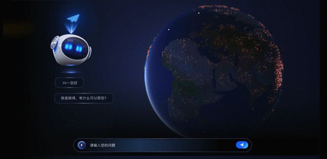
Gaode Cloud Map Releases a Large Model of Industrial Integration Based on Temporal and Spatial Information "Yunrui"
On November 1st, it was announced that at the 2023 Yunqi Conference, Gaode Yuntu, a subsidiary of Gaode Maps, officially released its independently developed industry model - "Yunrui", which integrates spatiotemporal data deployment training models for maps and provides customizable and scalable generative artificial intelligence (AIGC) fusion solutions for multiple industries. In addition, Gaode Yuntu has also released a fully automated digital twin modeling platform based on immersive AI 3D reconstruction technology - "Yunjing"
On November 1st, it was announced that at the 2023 Yunqi Conference, Gaode Yuntu, a subsidiary of Gaode Maps, officially released its independently developed industry model - "Yunrui", which integrates spatiotemporal data deployment training models for maps and provides customizable and scalable generative artificial intelligence (AIGC) fusion solutions for multiple industries. In addition, Gaode Yuntu has also released a fully automated digital twin modeling platform based on immersive AI 3D reconstruction technology - "Yunjing".
Dong Zhenning, Vice President of Gaode Map and General Manager of Gaode Cloud Map, stated that Gaode is committed to technology as the foundation and creating a spatiotemporal map that connects 360 lines. The positioning of Gaode Cloud Map is to build a new infrastructure for spatiotemporal connectivity, helping industrial partners better connect to the era of artificial intelligence. Dong Zhenning believes that for various industries, the business development under various scenarios urgently needs to integrate increasingly rich and complex spatiotemporal information in order to achieve more complete evolution. And Gaode Cloud Map will serve as a technology service platform for the industry, which can help the industry better integrate spatiotemporal intelligence

It is reported that the Gaode Yunrui spatiotemporal large model is a self-developed model based on the Transformer and Graph architectures, trained on map point, line, surface, and volume spatiotemporal data. It has the ability to integrate hundreds of billions of spatiotemporal information and multi-source data, providing enterprises with more comprehensive and accurate prediction and analysis capabilities based on spatiotemporal dimensions.
According to Lei Yu, Vice General Manager and Industry Research Leader of Gaode Yuntu, the Yunrui spatiotemporal model can cover multiple industries such as transportation and retail, helping customers achieve perception, prediction, and decision-making links in site selection, distribution, traffic management, and business analysis.
The cloud AI immersive 3D platform, on the other hand, is a fully automated and high-quality 3D reconstruction platform based on 3D implicit spatial modeling and artificial intelligence deep learning. It supports various data access, including but not limited to drone aerial data, laser point cloud data, fisheye camera data, and even ordinary mobile phone/camera data, enabling AI to achieve fully automated and high-precision 3D scene restoration, It can be widely applied in various fields such as urban digital twins.
It is reported that the platform has the ability to generate spatial reconstruction for multiple scenarios such as cities, parks, and indoor environments, providing more efficient and accurate spatiotemporal intelligent technology support for urban comprehensive governance, park management, traffic management, and equipment management.
Gaode Yuntu also announced the launch of the "Cloud Chain Qianfan Plan", which will provide an ecological development fund of 100 million yuan in the early stage. Through extensive cooperation with industry, academia, and research institutes, we will jointly build 10 spatiotemporal laboratories to promote the application of spatiotemporal models in multiple industries; Collaborate with industry teacher Fu to jointly build 100 industry products to effectively solve the pain points of the industry in the process of digital real integration; Develop 1000 industry ecological partners to jointly expand the industry market; Finally, 10000 industry application experts will be trained for the industry to achieve sufficient talent supply.
Dong Zhenning stated that in the future, Gaode Cloud Map will continue to open up new infrastructure capabilities in time and space, helping 360 Travel partners create broader and far-reaching value. I hope that ecological partners can work together with Gaode Yuntu to become operators of spatiotemporal internet infrastructure
Tag: Gaode Cloud Map Releases Large Model of Industrial Integration
Disclaimer: The content of this article is sourced from the internet. The copyright of the text, images, and other materials belongs to the original author. The platform reprints the materials for the purpose of conveying more information. The content of the article is for reference and learning only, and should not be used for commercial purposes. If it infringes on your legitimate rights and interests, please contact us promptly and we will handle it as soon as possible! We respect copyright and are committed to protecting it. Thank you for sharing.


